Map kelp and seagrass with sonar recordings
Produce accurate depth, substrate, and vegetation maps for nearshore habitats, reefs, or restoration areas. Monitor seagrass coverage and shoreline change.
• Process large coastal surveys with unlimited uploads
• Identify seagrass coverage and substrate composition
• Monitor shoreline erosion and habitat change
• Export layers compatible with NOAA standards
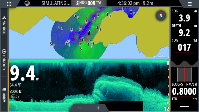
Screenshot of kelp and seagrass growing on the Norwegian coast from a Simrad® NSS Evo.
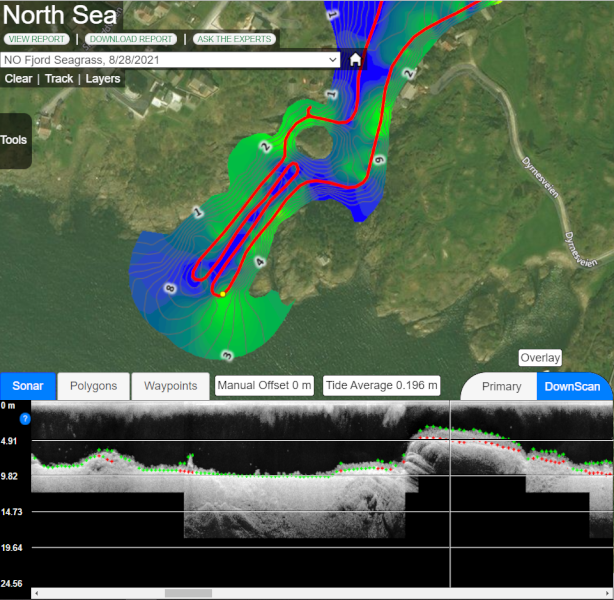
Create detailed GIS maps of kelp and seagrass growing on the seafloor with your sonar recordings.
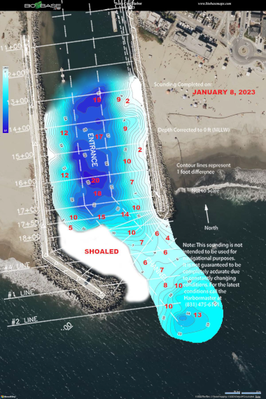
Monitor Daily Sediment Changes in Harbors and Marinas
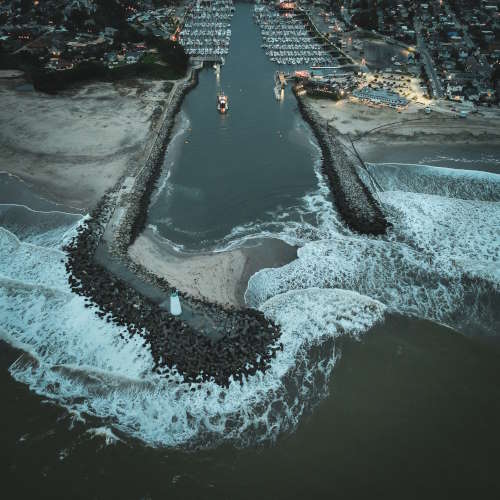
The Santa Cruz Port District maps with BioBase almost daily during the winter months to inform dredging operations and keep the channels open for recreational boat traffic

Latest Updates & Advancements